The key idea of position and orientation at level 3 is that the position, direction and pathway of objects can be described using coordinate systems.
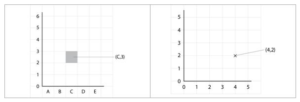
The rectangular grid made up of horizontal and vertical lines is the main coordinate system that students will be investigating at this level. Either the lines or the spaces of a rectangular grid can be labeled with letters or numbers. The letters or numbers are used to describe a position on the grid in terms of a coordinate pair.
The position of any point on the grid can be described in relation to any other point by the horizontal and vertical distance between them. Direction on a grid or map are described in terms of the four main compass points as well as the four points between these, such as North East. Turns can be described as fractions of a revolution (e.g. quarter turn), as being clockwise or anti-clockwise, and the relationship between these turns and angle measures can be investigated. Simple scales for distance can be shown in terms of the distance represented by each cell of the grid.
This key idea develops from the key idea of position and orientation at level 2 where simple maps are used to show position, direction and pathways.
This key idea is extended in the key idea of position and orientation at level 4 where coordinate systems are used to operate on the position, orientation and pathway of objects.