GM3-5: Use a co-ordinate system or the language of direction and distance to specify locations and describe paths.
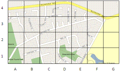
This means students will use co-ordinate systems that are used on maps to specify location and direction (for example Greensborough Reserve is at D1, Ruakura Road runs West-East). The scale of a map indicates distance.
At Level Three students should be able to:
.gif)